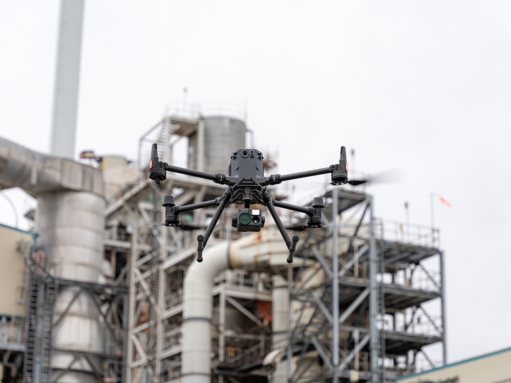
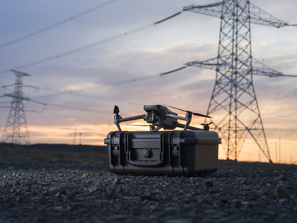
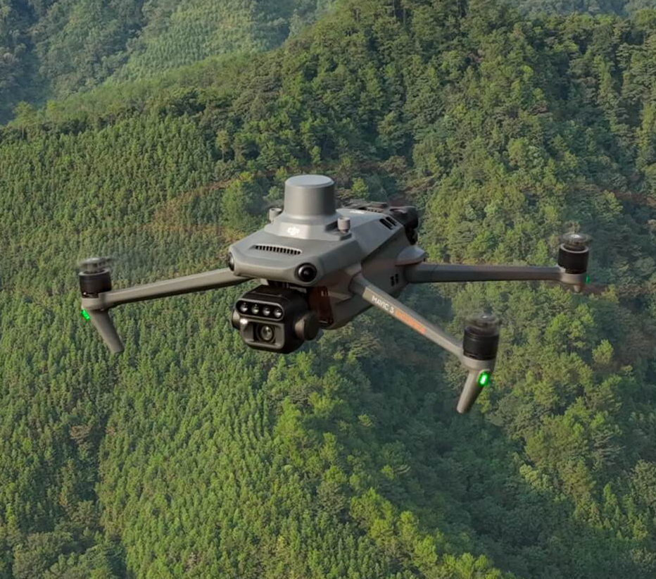
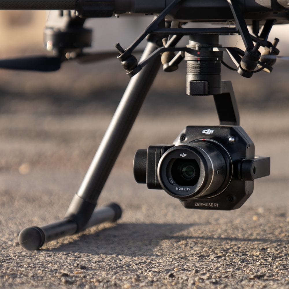
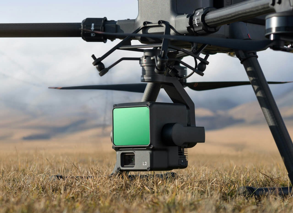
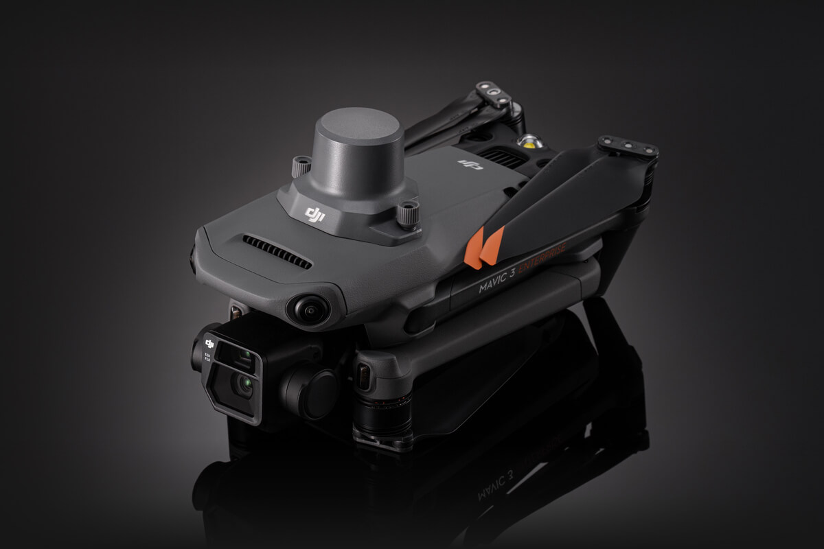
Utilizing drones for surveying work brings a multitude of benefits that significantly enhance the quality and efficiency of data acquisition in oil & gas, construction, agriculture, mining, and environmental monitoring, among other sectors. Drones offer an aerial perspective that is not just cost-effective but also superior in terms of the breadth and quality of data captured. They can cover vast areas in a fraction of the time it would take a ground crew, and with advanced imaging technologies, they can produce high-resolution maps and 3D models that offer invaluable insights into the surveyed terrain.
Moreover, the safety advantages cannot be overstated. Drones eliminate the need for human surveyors to physically access dangerous or hard-to-reach areas, thus reducing the risk of workplace accidents. The agility and precision of drones also allow for more frequent data collection, which is crucial for monitoring changes over time and making timely, informed decisions. With drones, surveying work becomes a less labor-intensive, safer, and more streamlined process, ultimately leading to faster project completion and a significant reduction in both costs and human error.